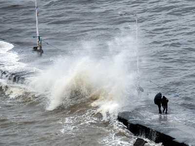
Chennai (Tamil Nadu) [India], October 26 (ANI): The India Meteorological Department (IMD) reported on Sunday that a depression in the east-central Arabian Sea has progressed nearly westward at a velocity of seven kilometres per hour over the past six hours.
Meanwhile, the depression over the southeast Bay of Bengal moved nearly west-northwestwards at 10 kmph over the past 6 hours, intensified into a deep depression, and lay centred.
As of 0530 hours IST today, the Arabian Sea depression was located in the same region, near latitude 16.5°N and longitude 66.8°E. It is situated approximately 700 kilometres west-southwest of Mumbai, around 760 kilometres west of Panjim, Goa, 880 kilometres northwest of Aminidivi in Lakshadweep, and about 960 kilometres west-northwest of Mangalore in Karnataka.
It is likely to move nearly westwards across the East Central Arabian Sea during the next 24 hours.
However, as of 0530 hrs IST today, the depression is over the southeast Bay of Bengal, near latitude 11.1°N & longitude 87.2°E, about 610 km west of Port Blair of the Andaman & Nicobar Islands, 790 km east-southeast of Chennai of Tamil Nadu, 850 km south-southeast of Visakhapatnam of Andhra Pradesh, 840 km southeast of Kakinada (Andhra Pradesh) and 950 km south-southeast of Gopalpur of Odisha.
It is likely to move nearly west-northwestwards and intensify further into a cyclonic storm over the southwest & adjoining west-central Bay of Bengal during the next 24 hours.
Thereafter, it is likely to move northwestwards, then north-northwestwards, and intensify into a severe cyclonic storm by the morning of October 28.
A severe cyclonic storm with a maximum sustained wind speed of 90-100 kmph with gusts up to 110 kmph is likely to cross the Andhra Pradesh coast between Machilipatnam and Kalingapatnam around Kakinada on the evening/night of October 28 if it continues its north-northwestward movement.
The central and south Bay of Bengal, as well as the Andaman Sea, are characterised by scattered to broken low and medium clouds with embedded intense to very intense convection.
Scattered low and medium clouds with isolated weak to moderate convection persist over the north Bay of Bengal.
The system is packing maximum sustained winds of 25 knots, gusting to 35 knots, with an estimated central pressure of 1002 hPa. (ANI)
You may also like

Timor-Leste becomes 11th member of ASEAN

South Korea, US have security deal on paper, still working on trade deal: National Security Advisor

India sailing ahead with over Rs 3 lakh crore Maritime Vision 2030

UP: AC sleeper bus catches fire on Agra-Lucknow Expressway, passengers unharmed

When will applications for JEE Main 2026 Session 1 open, how, and where? Learn more.


